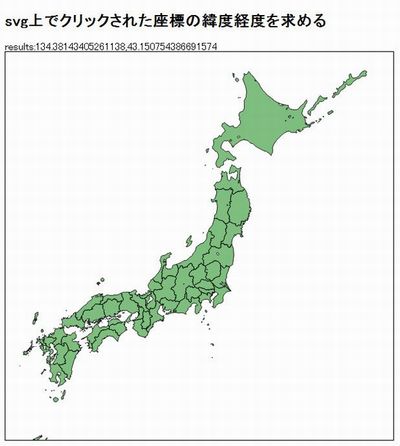
【D3.js】クリックした位置の緯度経度を求める
pixel座標と緯度経度の変換を行います。
サンプル
|
1 2 3 4 5 6 7 8 9 10 11 12 13 14 15 16 17 18 19 20 21 22 23 24 25 26 27 28 29 30 31 32 33 34 35 |
d3.json("japan.topojson", function(json) { d3main(json); }); function d3main(json){ var geodata = topojson.object(json, json.objects.japan).geometries; projection = d3.geo .mercator() //投影法の指定 .scale(1500) //スケール(ズーム)の指定 .translate([300,350]) .center([139.0032936, 36.3219088]); //中心の座標を指定 var path = d3.geo.path().projection(projection); //投影 var svg = d3.select("svg"); var map = svg.append("svg:g") .selectAll("path") .data(geodata) .enter() .append("svg:path") .attr({ "d": D(path), "fill": "green", "fill-opacity": 0.5, "stroke": "black" }); //クリックした位置の緯度経度を取得 d3.select("svg").on("mousedown.log", function() { d3.select('.resllut').text("results:" + projection.invert(d3.mouse(this))); }); } |